Des Moines International Airport (DSM)
General Information Des Moines International Airport
Country: United States (USA)
ISO code country: US
City: Des Moines
Airport name: Des Moines International Airport
Code IATA: DSM
Code ICAO: KDSM
Time zone: -6 GMT
Altitude: 292 meters
Length of runway: 2744 meters
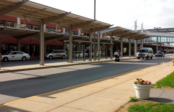
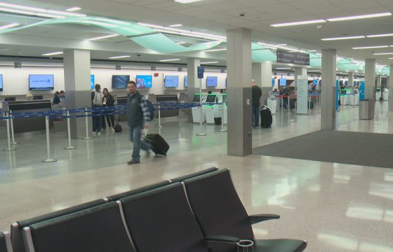
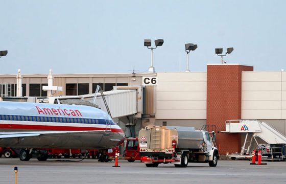
Photo Des Moines Airport
Des Moines Airport Contacts: adress, zip code, phone
Tel: +1 (0)515 2565100
Adress: 5800 Fleur Dr, Des Moines, IA 50321, USA
Web: flydsm.com
DSM Airport on Map — Location
General Info about Des Moines International Airport
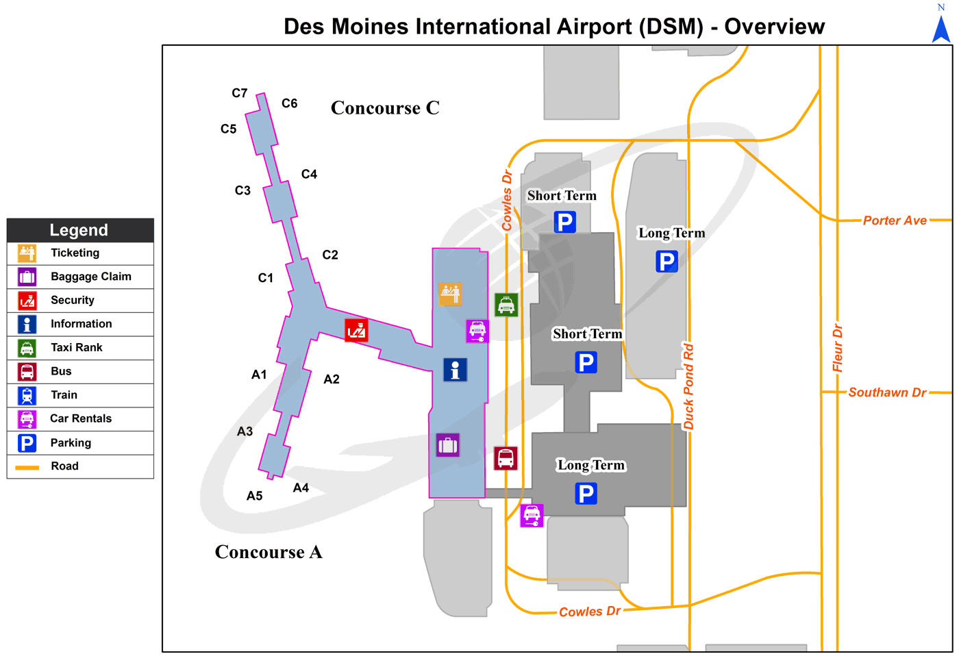
Des Moines International Airport is a civil-military airport 3 miles (4.8 km) southwest of Des Moines, the capital of Iowa. It has 31 connections to major airline hubs and leisure destinations.
The airport hosts the 132nd Wing (132 WG) of the Iowa Air National Guard.
The airport covers 2,625 acres (1,062 ha) at an elevation of 958 feet (292 m). It has two runways: 5/23 is 9,004 by 150 feet (2,744 x 46 m); 13/31 is 9,002 by 150 feet (2,744 x 46 m).
Video DSM
3D-tour
Airports near Des Moines (DSM)
Boone Municipal airport (62km)
Fort Dodge Regional airport (121km)
Waterloo Regional airport (154km)
Cedar Rapids Eastern Iowa airport (166km)
Mason City Municipal airport (182km)
Airlines which Fly to DSM
Airlines Alliances in Des Moines Airport
- SkyTeam
- OneWorld
- Star Alliance


