Albany International Airport (ALB)
General Information Albany International Airport
Country: United States (USA)
ISO code country: US
City: Albany
Airport name: Albany International Airport
Code IATA: ALB
Code ICAO: KALB
Time zone: -5 GMT
Altitude: 87 meters
Length of runway: 2591 meters
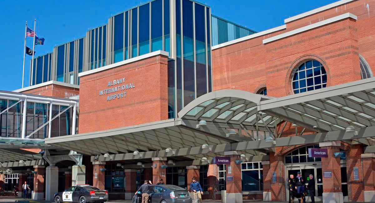
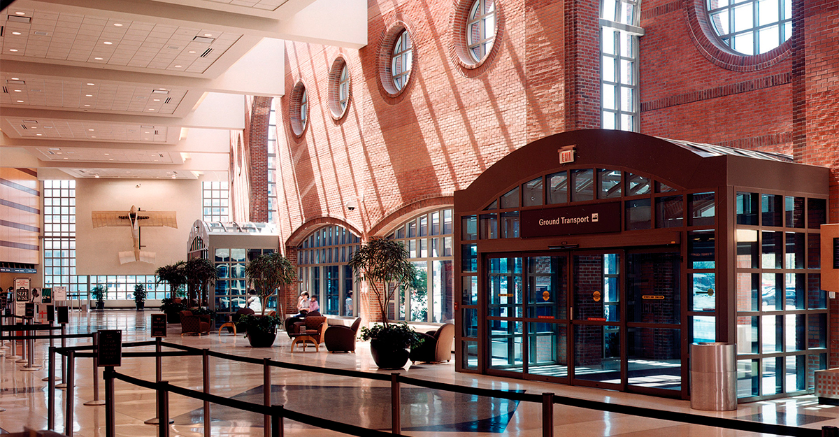
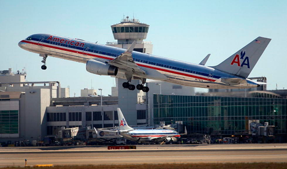
Photo ALB Airport
Albany International Airport Contacts: adress, zip code, phone
Tel: +1 (0)518 2422222
Adress: 737 Albany Shaker Rd, Albany, NY 12211, USA
Web: albanyairport.com
ALB Airport on Map — Location
General Info about Albany International Airport
Albany International Airport is six miles (9 km) northwest of Albany, in Albany County, New York, United States. It is owned by the Albany County Airport Authority. ALB covers 1,000 acres (400 ha) of land.
It is an airport of entry in the town of Colonie. It was built on the site of the Shaker settlement about 6 miles (9.7 km) north of Albany and stretching north to the hamlet of Verdoy. The airport is a Class Charlie Airspace.
Albany International Airport serves as the major air center for the Capital Region, Northeastern New York, and Western New England. In 2019, the airport handled a total of 1,518,969 passengers, which was a 3.6% increase from 2018. Many airlines serve the airport, with Southwest Airlines having the most presence. They hold 34% of the total airline share at Albany. Along with Southwest Airlines, Albany sees service with many other low-cost carriers, including JetBlue Airways, Allegiant Airlines, and Frontier Airlines. The airport is the 5th largest in New York State.
Video ALB
3D-tour
Airports near Albany (ALB)
Rutland–Southern Vermont Regional airport (111km)
Bradley International airport (128km)
Sidney Municipal airport (139km)
New York Stewart International airport (140km)
Hartford–Brainard airport (147km)
Airlines which Fly to ALB
Airlines Alliances in Albany International Airport
- SkyTeam
- OneWorld
- Star Alliance
ALB Airport Weather
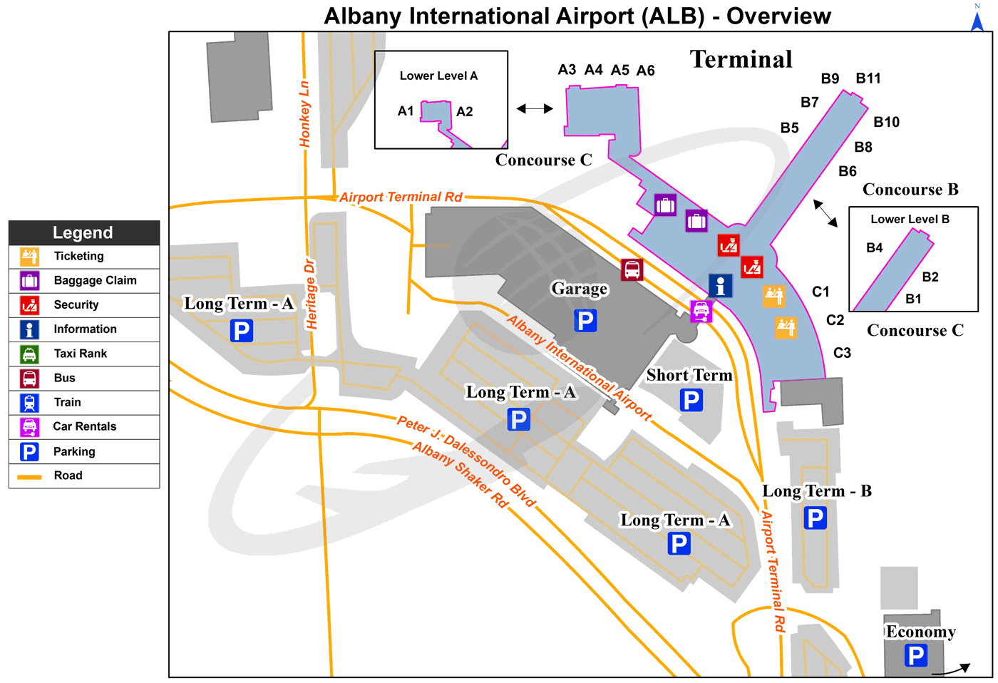
ALB Airport Terminal Map
Current local time in Albany, United States
")
")
")