Miami International Airport (MIA)
General information Miami International Airport
Country: United States (USA)
ISO code country: US
City: Miami
Airport name: Miami International Airport
Code IATA: MIA
Code ICAO: KMIA
Time zone: -6.0 GMT
Altitude: 2 meters
Length of runway: 3962 meters
Fast navigation
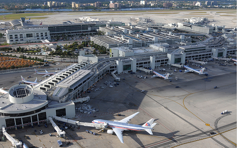
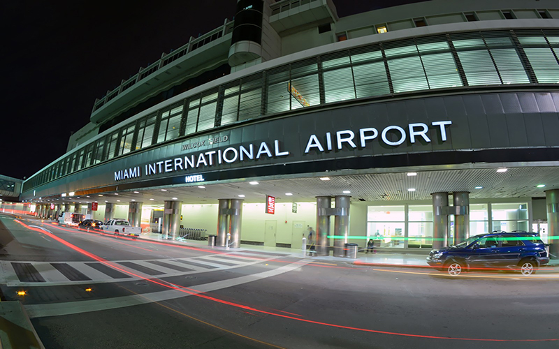
Photo Miami airport

Miami airport contacts: adress, zip code, phone
Tel: 1-(305) 876-7000
Adress: 2100 NW 42nd Ave, Miami, FL 33126, USA
Web: www.miami-airport.com/
Miami (MIA) airport on map — location
General info about Miami Airport
Miami International Airport (MIA) is located near the Miami in the state Florida. Geographic coordinates of Miami International Airport are: latitude 25.795365 and longitude -80.290556. Located in the -6.0 GMT time zone.
In the building of the Miami International Airport is a variety of infrastructure, necessary to meet the needs of departing and arriving passengers: restaurants and cafes, currency exchange offices, telephones and post office, gift shops and essential goods, luggage storage, car rental outlets.
Video Miami Airport
3D tour of Miami (MIA) Airport
Airports near Miami (MIA) Airport
Fort Lauderdale International airport (34km)
Fort Lauderdale Executive airport (46km)
West Palm Beach International airport (100km)
Bimini International airport (102km)
Fort Myers Southwest Florida Reg airport (168km)
Airlines which fly to MIA Airport
Airlines alliances at Miami Airport
- SkyTeam
- OneWorld
- Star Alliance
MIA Airport Weather
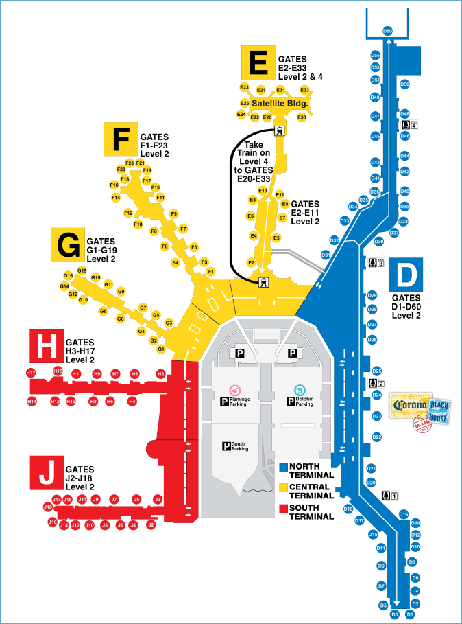
Miami Airport terminals map
Current local time in Miami, United States
Webcams in Miami airport
")
")
")