Eppley Airfield (OMA)
General information Eppley Airfield
Country: United States (USA)
ISO code country: US
City: Omaha
Airport name: Eppley Airfield
Code IATA: OMA
Code ICAO: KOMA
Time zone: -6.0 GMT
Altitude: 300 meters
Length of runway: 2896 meters
Fast navigation
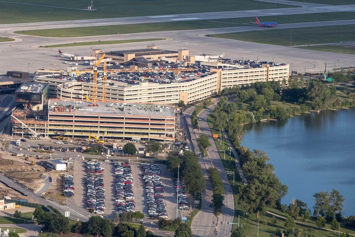
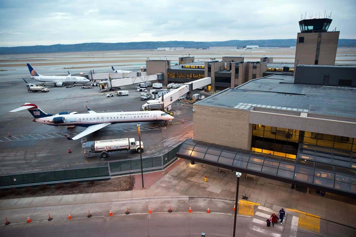
Photo Omaha airport

Eppley Airfield contacts: adress, zip code, phone
Tel: +1 402-661-8017
Adress: 4501 Abbott Dr, Omaha, NE 68110, USA
Web: www.flyoma.com
Omaha (OMA) airport on map — location
General info about Eppley Airfield
Eppley Airfield (OMA) is an airport in the midwestern United States, located three miles (5 km) northeast of downtown Omaha, Nebraska. On the west bank of the Missouri River in Douglas County, it is the largest airport in Nebraska, and is classified as a medium hub airport by the Federal Aviation Administration (FAA). It is owned and operated by the Omaha Airport Authority (OAA).
Eppley Airfield has three runways and covers 2,650 acres at an elevation of 984 feet above sea level. On average, seven airlines provide approximately 88 departures per day to 33 nonstop destinations. The airport is also serviced by seven freight companies.
Video Eppley Airfield
3D tour of Omaha (OMA) Airport
Airports near Eppley Airfield
Offutt Air Force Base (13km)
Lincoln Airport (55km)
Columbus Municipal Airport (76km)
Sioux Gateway Col. Bud Day Field (80km)
Karl Stefan Memorial Airport (92km)
Airlines which fly to Hartsfield Airport
Airlines alliances at Omaha Airport
- SkyTeam
- OneWorld
- Star Alliance
OMA Airport Weather
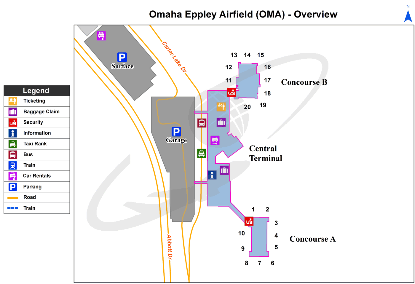
Omaha Airport terminals map
Current local time in Omaha, United States
")
")
")