Pensacola International Airport (PNS)
General information Pensacola International Airport
Country: United States (USA)
ISO code country: US
City: Pensacola
Airport name: Pensacola International Airport
Code IATA: PNS
Code ICAO: KPNS
Time zone: -0.0 GMT
Altitude: 37 meters
Length of runway: 2134 meters
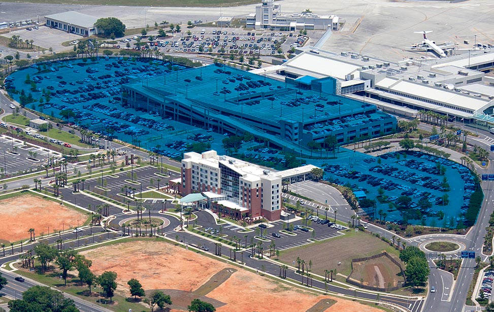
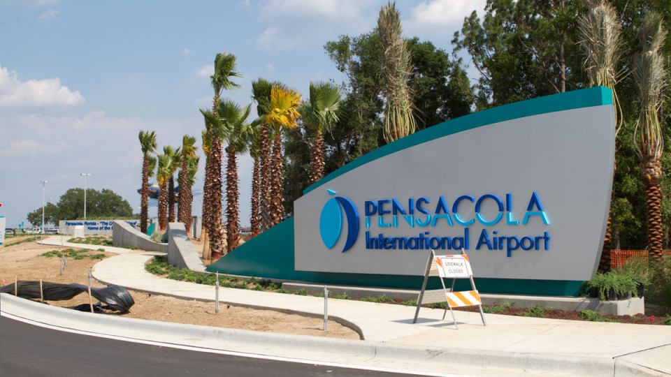
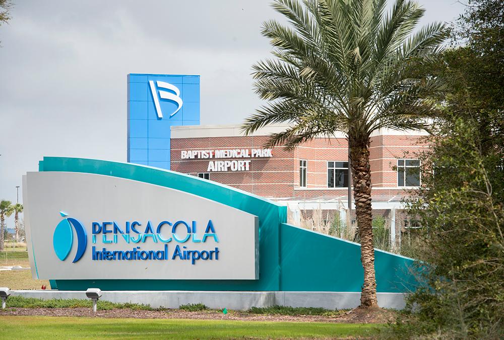
Photo Pensacola airport
Pensacola airport contacts: adress, zip code, phone
Tel: +1 850-436-5000
Adress: 2430 Airport Blvd, Pensacola, FL 32504, USA
Web: http://flypensacola.com/
Pensacola (PNS) airport on map — Location
General info about Pensacola Airport
Pensacola International Airport (PNS) is located near the Pensacola in the state Florida. Geographic coordinates of Pensacola International Airport are: latitude 30.473426 and longitude -87.186612. Located in the -0.0 GMT time zone.
In the building of the Pensacola International Airport is a variety of infrastructure, necessary to meet the needs of departing and arriving passengers: restaurants and cafes, currency exchange offices, telephones and post office, gift shops and essential goods, luggage storage, car rental outlets.
Video Pensacola Airport
Airports near Pensacola (PNS) Airport
Valparaiso Ft. Walton Beach airport (63km)
Destin airport (66km)
Mobile Municipal Arpt airport (103km)
Northwest Florida Beaches International airport (133km)
Panama City Bay County airport (147km)
Airlines which fly to PNS Airport
Airlines alliances in Pensacola Airport
- SkyTeam
- OneWorld
- Star Alliance
PNS Airport Weather
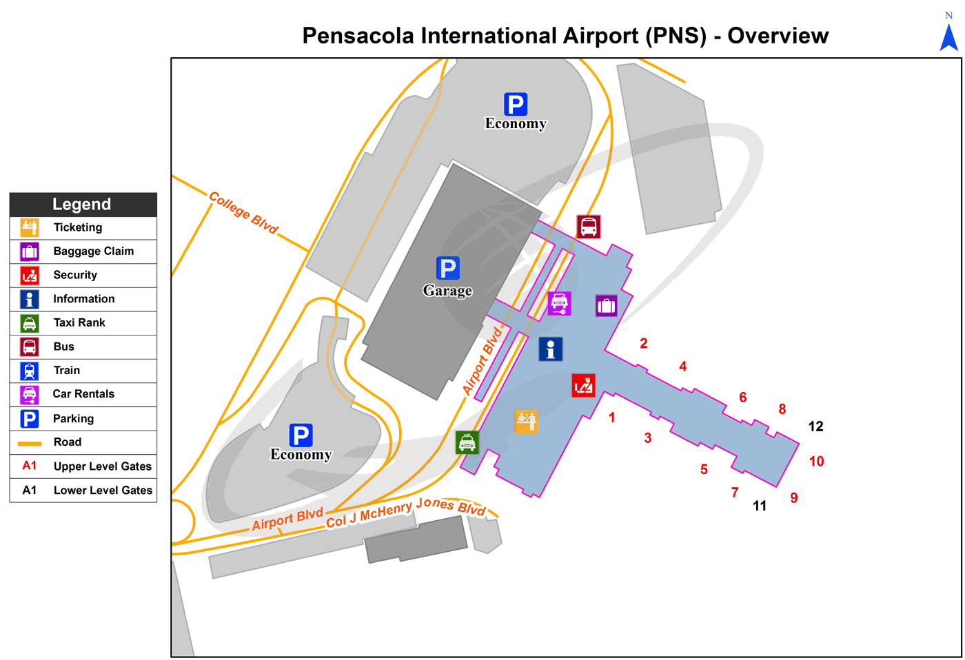
Pensacola Airport terminal map
[tp_direct_flights_shortcodes origin=PNS title=»» limit=10 paginate=true subid=»» currency=»USD»]
Current local time in Pensacola, United States
")
")
")