Denver International Airport (DEN)
General information Denver Airport
Country: United States (USA)
ISO code country: US
City: Denver
Airport name: Denver International Airport
Code IATA: DEN
Code ICAO: KDEN
Time zone: -7.0 GMT
Altitude: 1655 meters
Length of runway: 3658 meters
Fast navigation
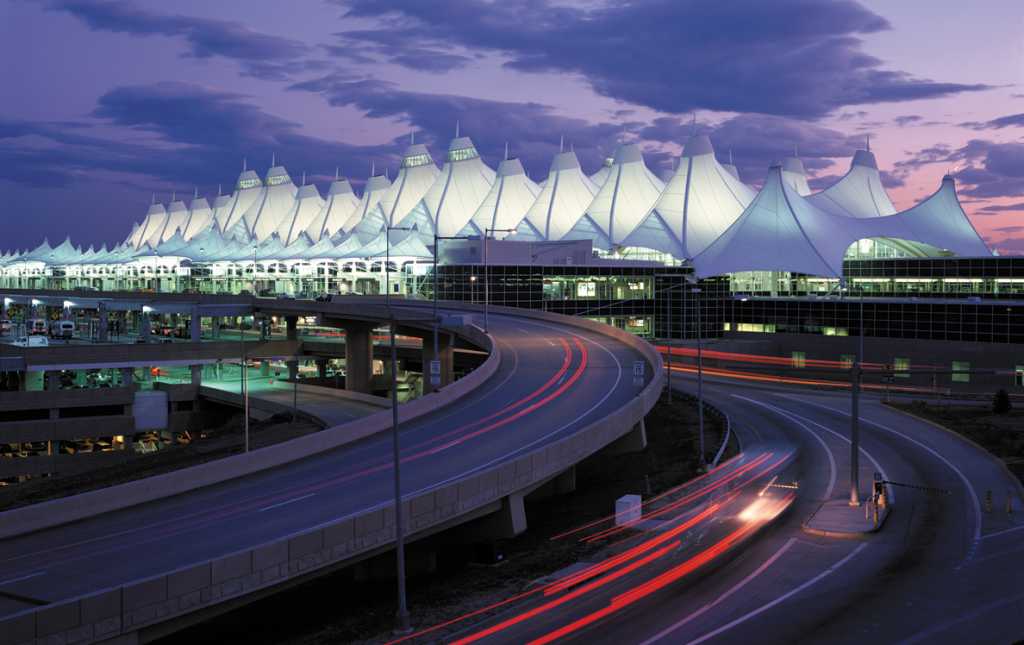
Photo Denver airport


Denver airport contacts: adress, zip code, phone
Tel: +1 303-342-2000
Adress: 8500 Peña Blvd, Denver, CO 80249, USA
Web: https://www.flydenver.com/
Denver (DEN) airport on map — location
General info about Denver Airport
Denver International Airport (DEN) is located near the Denver in the state Colorado. Geographic coordinates of Denver International Airport are: latitude 39.861656 and longitude -104.673178. Located in the -7.0 GMT time zone.
In the building of the Denver International Airport is a variety of infrastructure, necessary to meet the needs of departing and arriving passengers: restaurants and cafes, currency exchange offices, telephones and post office, gift shops and essential goods, luggage storage, car rental outlets.
Video Denver Airport
3D tour of Denver (DEN) Airport
Airports near Denver Airport
Centennial airport (29km)
Colorado Springs airport (117km)
Pueblo Memorial airport (175km)
Laramie Regional airport (182km)
Eagle County Regional airport (193km)
Airlines which fly to Denver Airport
Airlines alliances at Denver Airport
- SkyTeam
- OneWorld
- Star Alliance
DEN Airport Weather
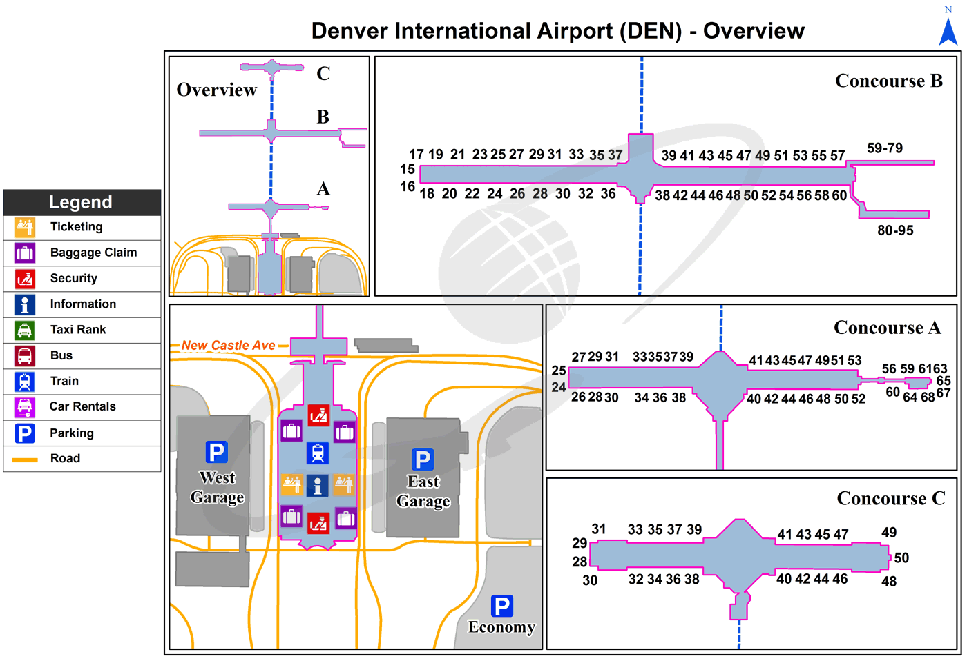
Denver Airport terminals map
[tp_direct_flights_shortcodes origin=DEN title=»» limit=10 paginate=true subid=»» currency=»USD»]
Current local time in Denver, United States
")
")
")