Sioux Falls Regional Airport (FSD)
General information Sioux Falls Regional Airport
Country: United States (USA)
ISO code country: US
City: Sioux Falls
Airport name: Sioux Falls Regional Airport (Joe Foss Field)
Code IATA: FSD
Code ICAO: KFSD
Time zone: -6.0 GMT
Altitude: 436 meters
Length of runway: 2743 meters
Fast navigation
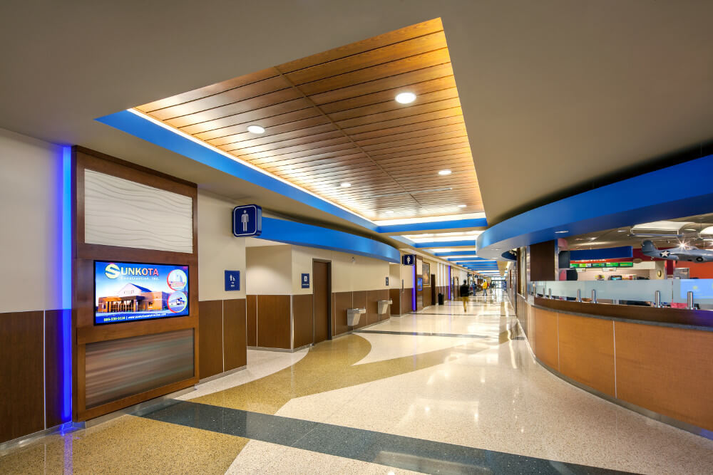
Photo Sioux Falls airport
Sioux Falls airport contacts: adress, zip code, phone
Tel: +1 605-336-0762
Adress: 2801 N Jaycee Ln, Sioux Falls, SD 57104, USA
Web: www.sfairport.com
Sioux Falls (FSD) airport on map — location
General info about Sioux Falls Airport
Sioux Falls Regional Airport (FSD), also known as Joe Foss Field, is a public and military use airport three miles northwest of Sioux Falls, South Dakota, United States. It is named in honor of aviator and Sioux Falls native Joe Foss, who later served as the 20th Governor of South Dakota (1955–1959).
Joe Foss Field Air National Guard Station is home to Headquarters, South Dakota Air National Guard and its 114th Fighter Wing (114 FW). The 114 FW is an Air Combat Command gained unit known as the «Fighting Lobos» and operates F-16C/D aircraft. The South Dakota Adjutant General is based in Camp Rapid in Rapid City, South Dakota, but the South Dakota Air National Guard is effectively headquartered with the 114 FW.
Video Sioux Falls Airport
3D tour of Sioux Falls (FSD) Airport
Airports near Sioux Falls Regional Airport
Chan Gurney Municipal Airport (56km)
Sioux Gateway Col. Bud Day Field (83km)
Huron Regional Airport (92km)
Watertown Regional Airport (94km)
Redwood Falls Municipal Airport (106km)
Airlines which fly to Joe Foss Field
Airlines alliances at Sioux Falls Airport
- SkyTeam
- OneWorld
- Star Alliance
FSD Airport Weather
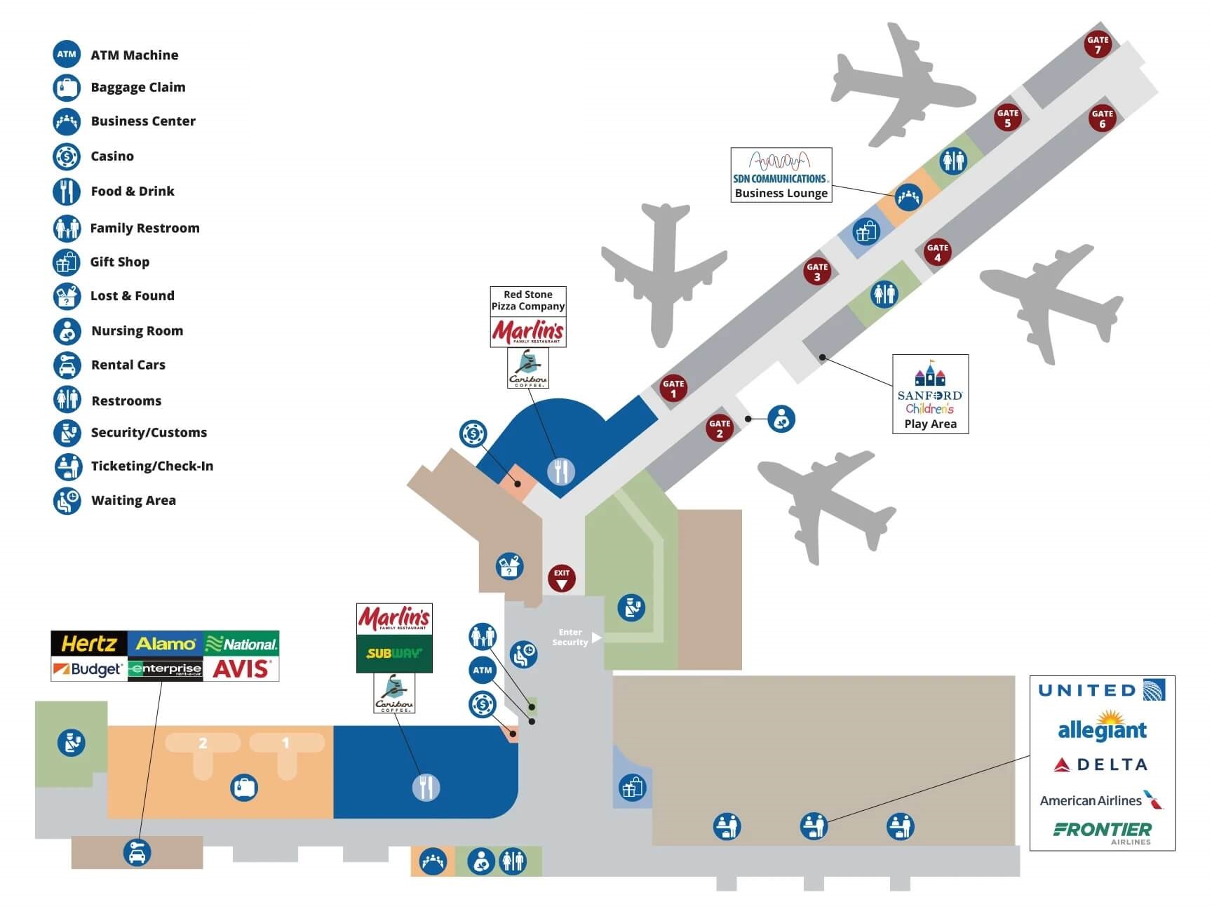
Sioux Falls Airport terminals map
Current local time in Sioux Falls, United States
")
")