Gerald R. Ford International (GRR)
General Information Gerald R. Ford International Airport
Country: United States (USA)
ISO code country: US
City: Grand Rapids
Airport name: Gerald R. Ford International Airport
Code IATA: GRR
Code ICAO: KGRR
Time zone: -5 GMT
Altitude: 242 meters
Length of runway: 3048 meters
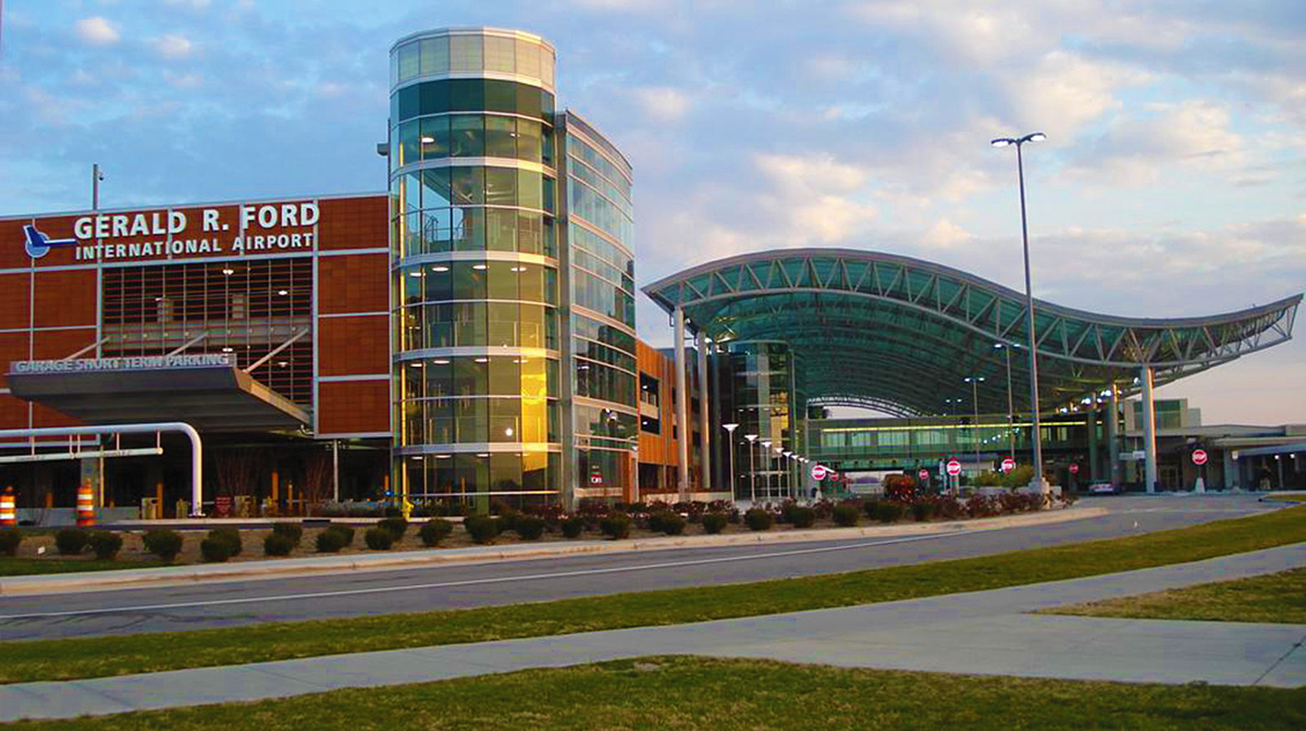
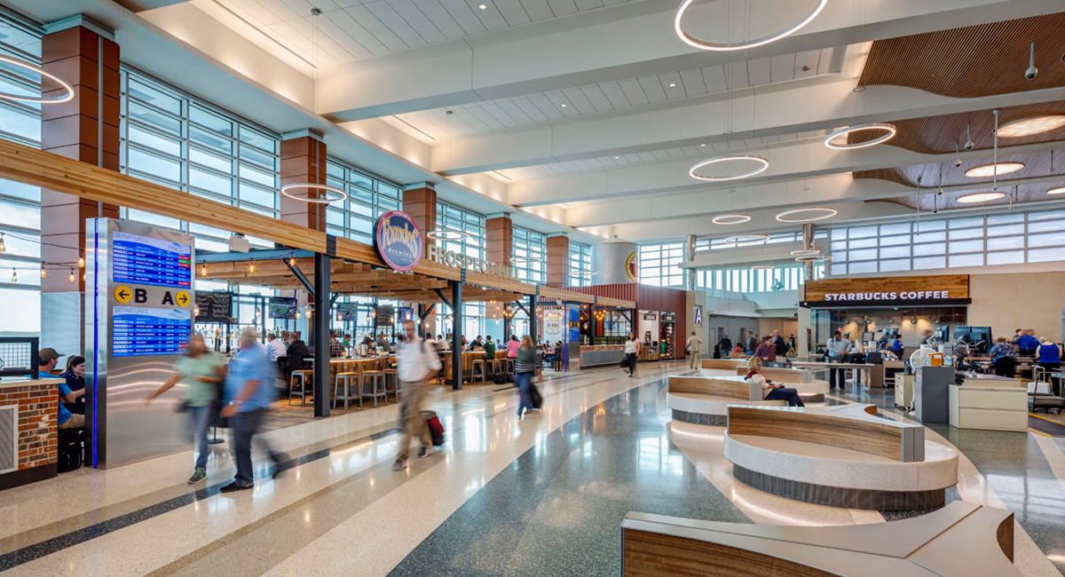
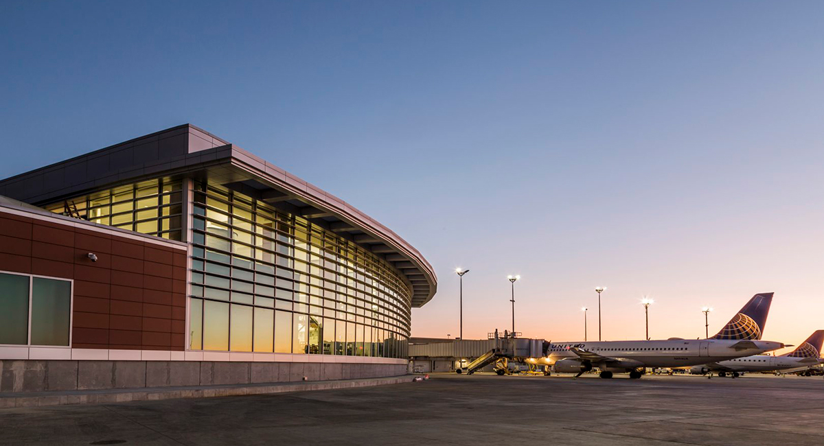
Photo Gerald R. Ford Airport
Gerald R. Ford Airport Contacts: adress, zip code, phone
Tel: +1 (0)616 2336000
Adress: 5500 44th St SE, Grand Rapids, MI 49512, USA
Web: grr.org
Gerald R. Ford Airport (GRR) on Map — Location
General Info about Gerald R. Ford Airport
Gerald R. Ford International Airport is a commercial airport in Cascade Township approximately 13 miles (21 km) southeast of Grand Rapids, Michigan. The facility is owned by the Kent County Board of Commissioners and managed by an independent authority. The Federal Aviation Administration (FAA) National Plan of Integrated Airport Systems for 2017–2021 categorized it as a small hub primary commercial service facility.
The facility opened as the Kent County Airport and later became Kent County International Airport; in December 1999 the airport was renamed for Gerald R. Ford, the 40th Vice President and the 38th President of the United States. Ford represented the Grand Rapids area in the United States House of Representatives from 1949 to 1973.
The airport is the largest commercial airport in the West Michigan region and is the second-largest airport in Michigan after Detroit Metropolitan Airport. GRR covers 3,127 acres (1,265 ha).
The airport currently has flights to 34 domestic airports.
Video GRR
3D-tour
Airports near Gerald R. Ford (GRR)
Muskegon County airport (66km)
Kalamazoo/Battle Creek International airport (71km)
Capital Region International airport (77km)
MBS International airport (137km)
Bishop International airport (145km)
Airlines which Fly to GRR
Airlines Alliances in Gerald R. Ford Airport
- SkyTeam
- OneWorld
- Star Alliance
GRR Airport Weather
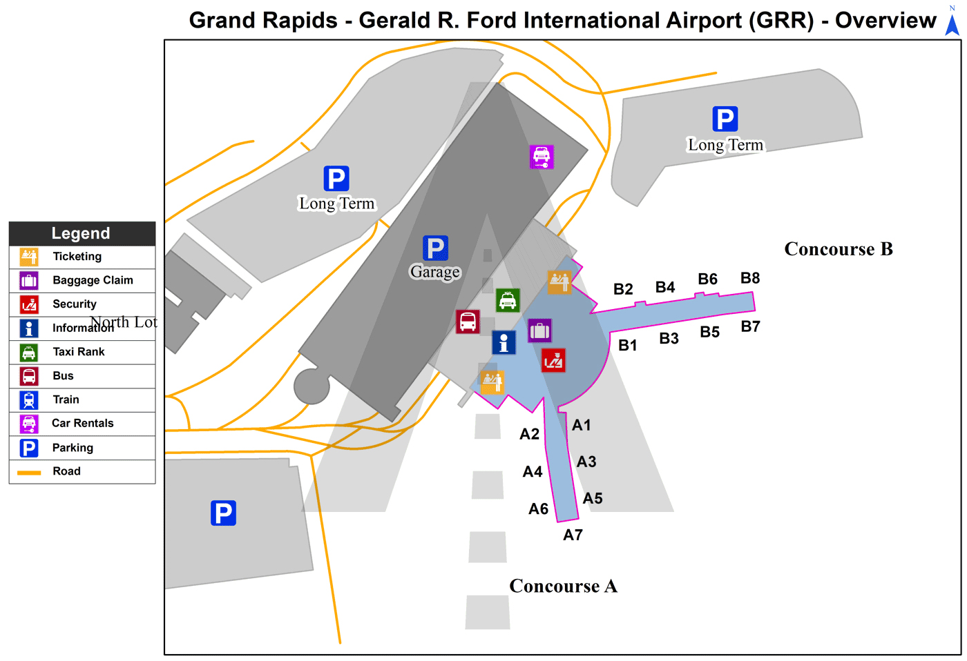
GRR Airport Terminal Map
Current local time in Grand Rapids, United States
")
")
")