Minneapolis–Saint Paul International Airport (MSP)
General information Minneapolis International Airport
Country: United States (USA)
ISO code country: US
City: Minneapolis
Airport name: Minneapolis−Saint Paul International Airport
Code IATA: MSP
Code ICAO: KMSP
Time zone: -6.0 GMT
Altitude: 256 meters
Length of runway: 3355 meters
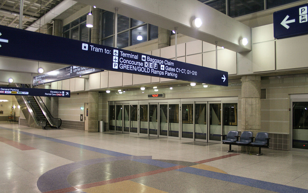
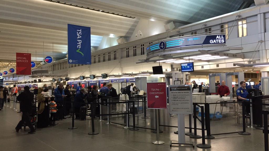
Photo Minneapolis airport

Minneapolis airport contacts: adress, zip code, phone
Tel: +1 612-726-5555
Adress: Minnesota, USA
Web: www.mspairport.com
MSP airport on map — location
General info about Minneapolis Airport
Minneapolis–Saint Paul International Airport, also less commonly known as Wold–Chamberlain Field, is a joint civil-military public use international airport. It is located in a portion of Hennepin County, Minnesota, United States, within 10 miles of both downtown Minneapolis and Saint Paul. MSP is the largest and busiest airport in the six-state Upper Midwest region of Minnesota, Iowa, Nebraska, North Dakota, South Dakota, and Wisconsin. A joint civil-military airport, MSP is also home to the Minneapolis–Saint Paul International Airport Joint Air Reserve Station, supporting both Air Force Reserve Command and Air National Guard flight operations.
Video MSP Airport
Airports near Minneapolis (MSP) Airport
St Cloud airport (98km)
Rochester Municipal airport (122km)
Eau Claire airport (136km)
Brainerd airport (182km)
La Crosse airport (192km)
Airlines which fly to MSP Airport
Airlines alliances at Minneapolis Airport
- SkyTeam
- OneWorld
- Star Alliance
MSP Airport Weather
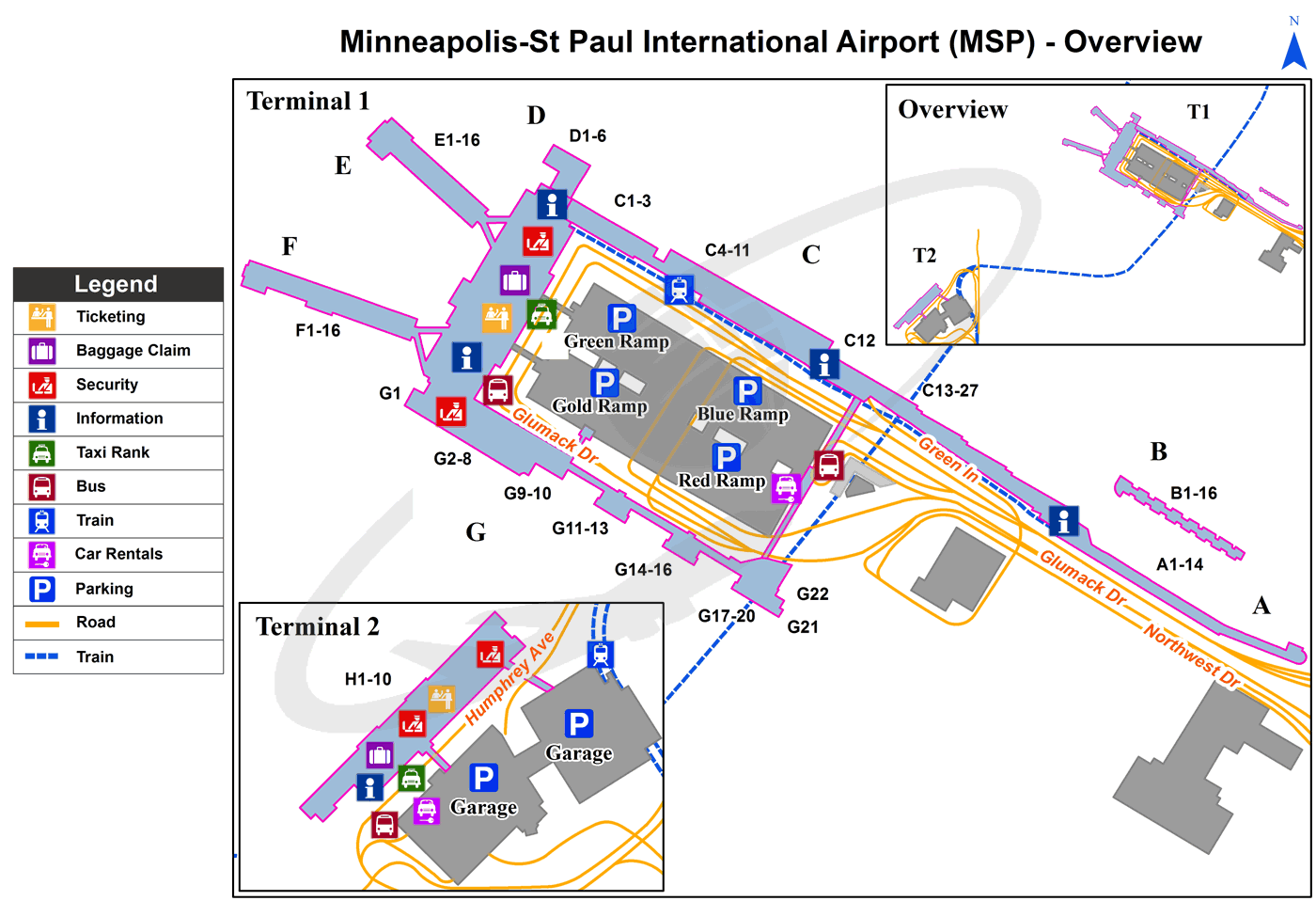
Minneapolis Airport terminals map
[tp_direct_flights_shortcodes origin=MSP title=»» limit=10 paginate=true subid=»» currency=»USD»]
Current local time in Charlotte, United States
")
")
")