Portland International Airport (PDX)
General Information Portland International Airport
Country: United States (USA)
ISO code country: US
City: Portland
Airport name: Portland International Airport
Code IATA: PDX
Code ICAO: KPDX
Time zone: -8 GMT
Altitude: 9 meters
Length of runway: 3353 meters
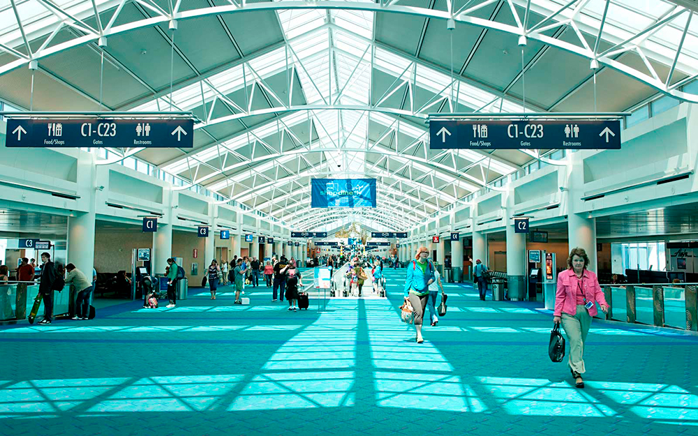
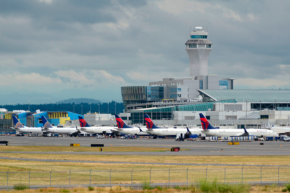
Photo Portland Airport

Portland International Airport Contacts: adress, zip code, phone
Tel: +1 (0)512 5302242
Adress: 7000 NE Airport Way, Portland, OR 97218, USA
Web: flypdx.com
Portland Airport (PDX) on Map — Location
General Info about Portland Airport
Portland International Airport is a joint civil–military airport and the largest airport in the U.S. state of Oregon, accounting for 90% of the state’s passenger air travel and more than 95% of its air cargo. It is within Portland’s city limits just south of the Columbia River in Multnomah County, 6 miles (10 kilometers) by air and 12 mi (19 km) by highway northeast of downtown Portland. Portland International Airport is often referred to by its IATA airport code, PDX. The airport covers 3,000 acres (1,214 ha) of land.
Portland International Airport has direct flights and connections to most major airports throughout the United States, and non-stop international flights to Canada, Germany, Japan, Mexico and the Netherlands. The airport is a hub for Alaska Airlines and Horizon Air. It is also a maintenance facility for Horizon Air. General aviation services are provided at PDX by Atlantic Aviation.
Video PDX
3D-tour
Airports near Portland (PDX)
Eugene airport (170km)
Redmond Municipal airport (187km)
Yakima Air Terminal airport (192km)
Seattle–Tacoma International airport (208km)
Seattle King County Boeing airport (217km)
Airlines which Fly to PDX Airport
Airlines Alliances in Portland Airport
- SkyTeam
- OneWorld
- Star Alliance
PDX Airport Weather
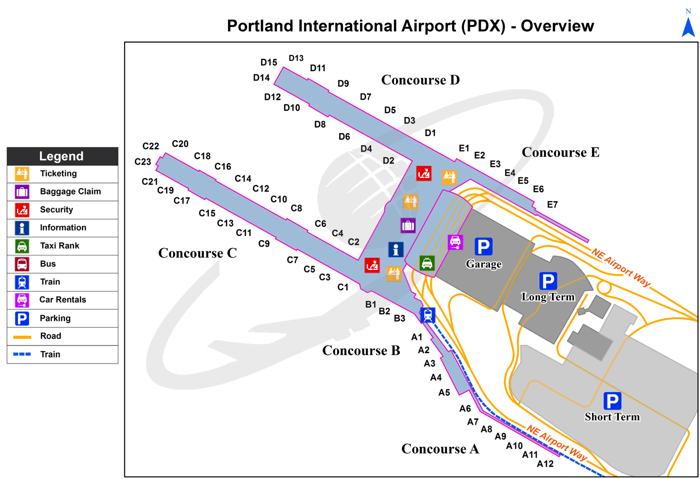
Portland Airport Terminal Map
Current local time in Portland, United States
")
")
")