South Bend International Airport (SBN)
General information South Bend Airport
Country: United States (USA)
ISO code country: US
City: South Bend
Airport name: South Bend International Airport
Code IATA: SBN
Code ICAO: KSBN
Time zone: -5.0 GMT
Altitude: 244 meters
Length of runway: 2565 meters
Fast navigation
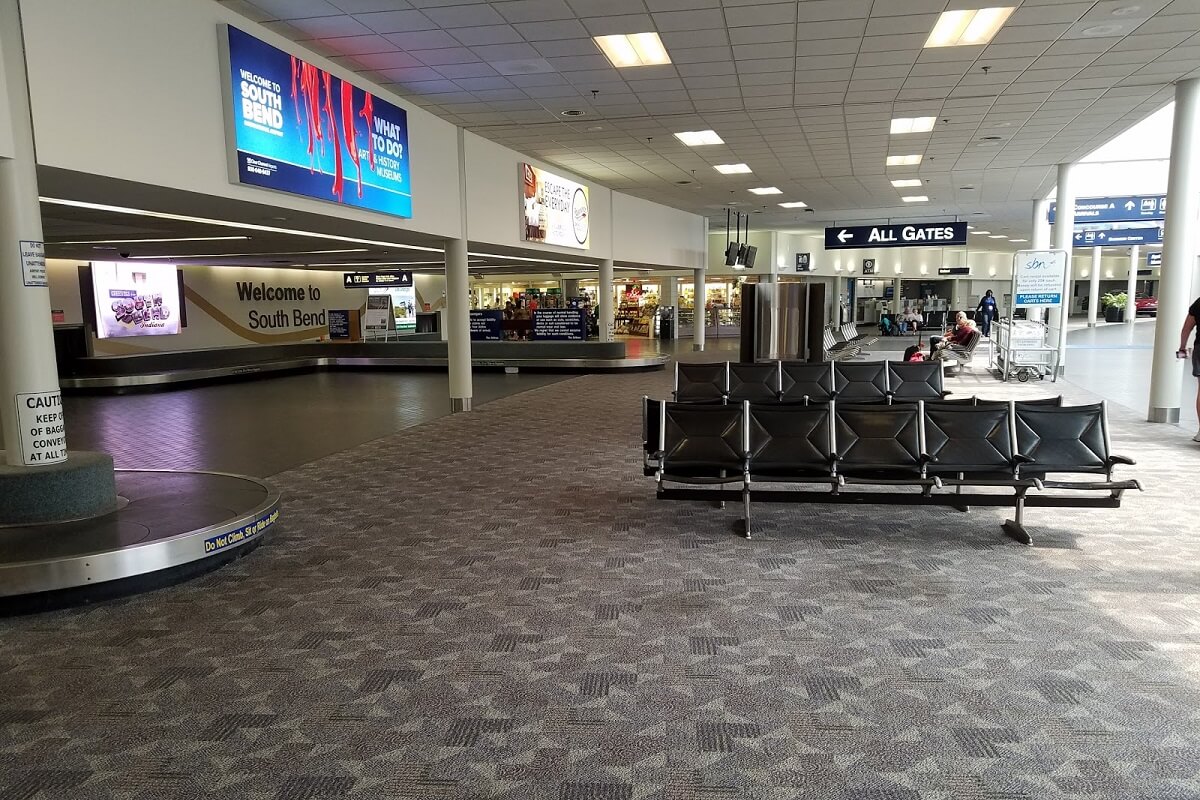
Photo South Bend airport
South Bend airport contacts: adress, zip code, phone
Tel: +1 574-282-4590
Adress: 4477 Progress Dr, South Bend, IN 46628, USA
Web: www.flysbn.com
South Bend (SBN) airport on map — location
General info about South Bend Airport
South Bend International Airport (SBN) is a commercial and freight airport located three miles northwest of downtown South Bend, in St. Joseph County, Indiana, United States. It is the state’s second busiest airport in terms of passenger traffic after Indianapolis International Airport.
South Bend International Airport is owned by the St. Joseph County Airport Authority. Passengers can make connections to local public transportation services such as the South Shore Line trains to Millennium Station in Chicago and the local TRANSPO bus route #4 which travels along Lincoln Way.
Video South Bend Airport
3D tour of South Bend (SBN) Airport
Airports near South Bend Airport
Porter County Municipal Airport (40km)
Kalamazoo Battle Creek International Airport (54km)
Gary Chicago International Airport (57km)
W K Kellogg Airport (69km)
Grissom Air Reserve Base (74km)
Airlines which fly to South Bend Airport
Airlines alliances at South Bend Airport
- SkyTeam
- OneWorld
- Star Alliance
SBN Airport Weather
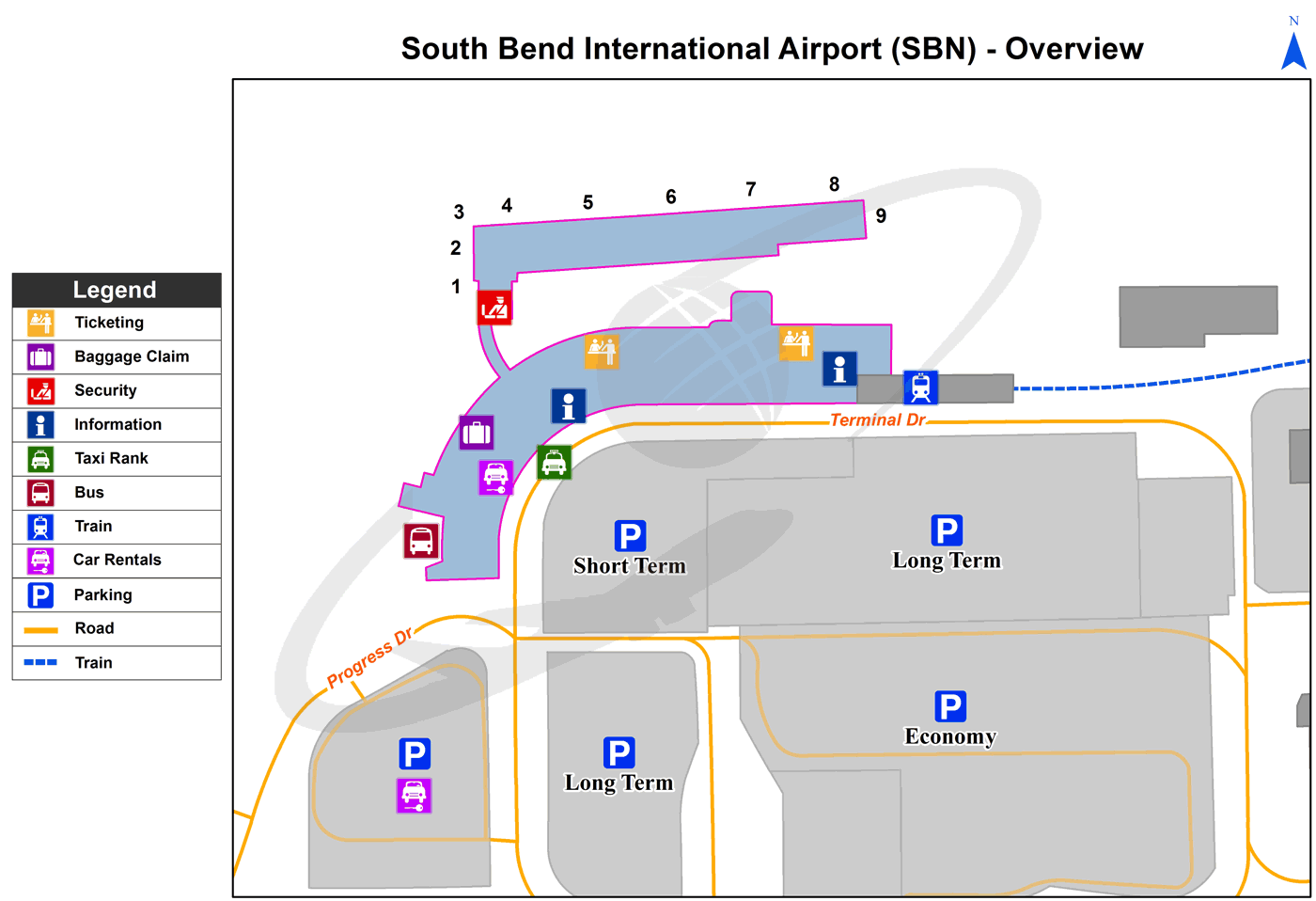
South Bend Airport terminals map
Current local time in South Bend, United States


