Tulsa International Airport (TUL)
General information Tulsa International Airport
Country: United States (USA)
ISO code country: US
City: Tulsa
Airport name: Tulsa International Airport
Code IATA: TUL
Code ICAO: KTUL
Time zone: -6.0 GMT
Altitude: 206 meters
Length of runway: 3048 meters
Fast navigation
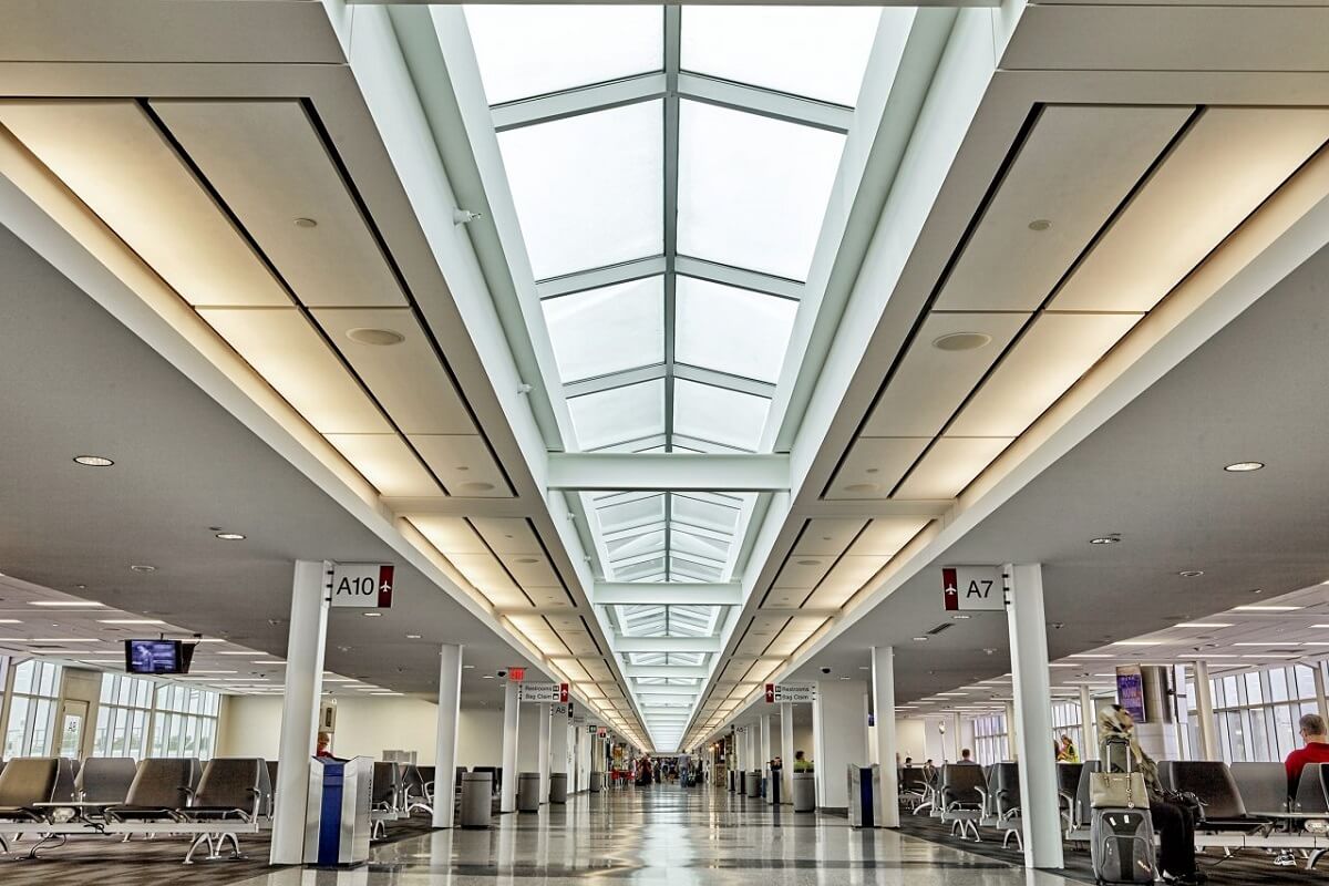
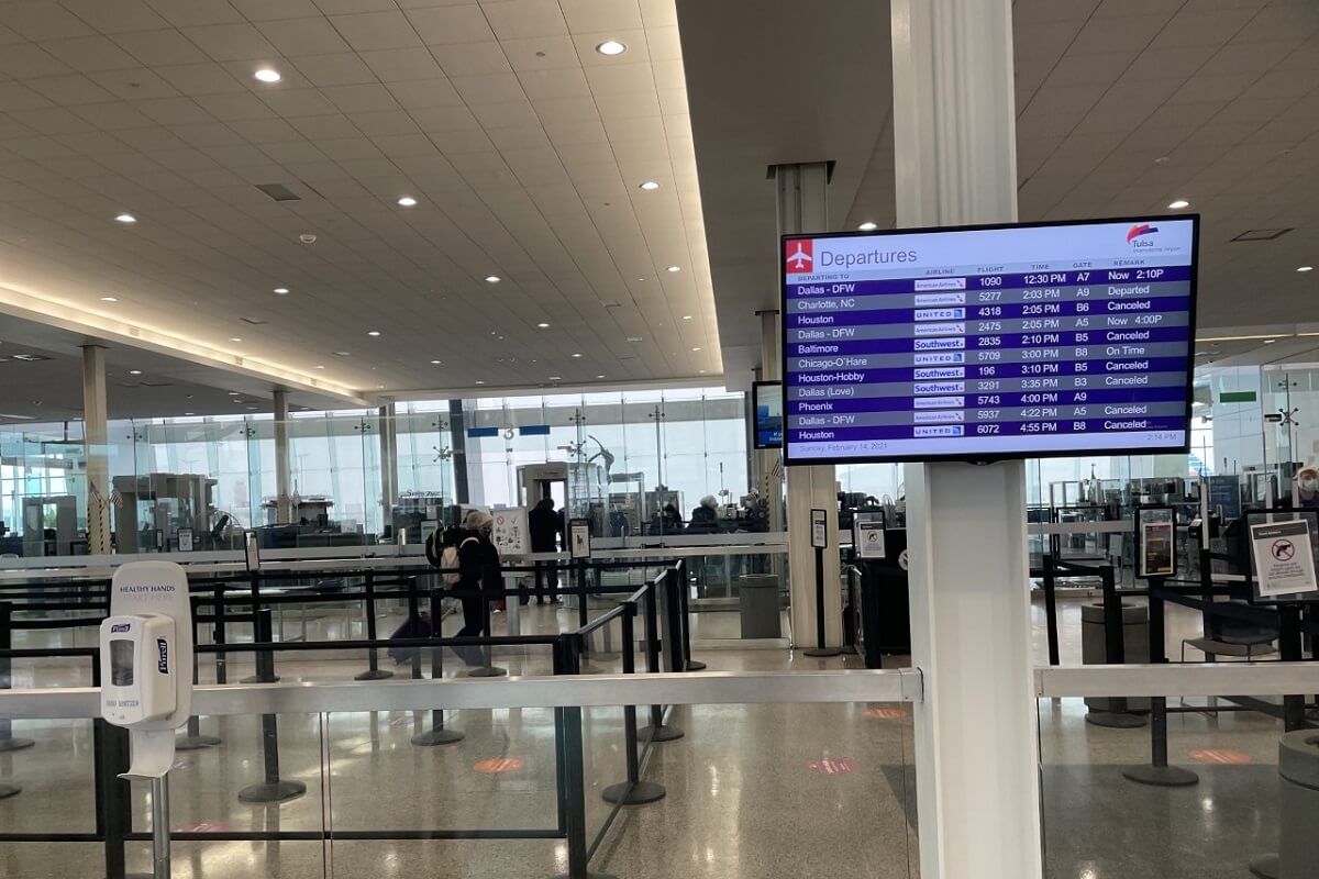
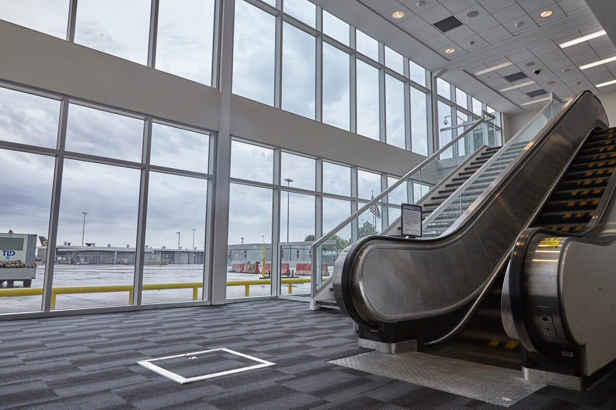
Photo Tulsa airport
Tulsa airport contacts: adress, zip code, phone
Tel: +1 918-838-5000
Adress: 7777 Airport Dr, Tulsa, OK 74115, USA
Web: www.tulsaairports.com
Tulsa (TUL) airport on map — location
General info about Tulsa International Airport
Tulsa International Airport (TUL) is a civil-military airport five miles northeast of downtown Tulsa, in Tulsa County, Oklahoma, United States. It was named Tulsa Municipal Airport when the city acquired it in 1929; it got its present name in 1963.
The airport covers 4,360 acres and has three paved runways. 180 aircraft are based at the airport: 30% single-engine, 13% multi-engine, 44% jet, <1% helicopter and 12% military. TUL is the headquarters for all Maintenance and Engineering activities at American Airlines worldwide, and is the maintenance base for the airline's fleet of Airbus A320 family, Boeing 787 and Boeing 737 aircraft – a combined total of nearly 800 airplanes. It employs over 5,000 people, with the majority as licensed aircraft and jet engine mechanics. According to the company, it is one of the largest private employers in Oklahoma.
Video Tulsa Airport
3D tour of Tulsa (TUL) Airport
Airports near Tulsa International Airport
Richard Lloyd Jones Jr Airport (12km)
Stillwater Regional Airport (67km)
Ponca City Regional Airport (77km)
Northwest Arkansas Regional Airport (88km)
Mc Alester Regional Airport (91km)
Airlines which fly to Hartsfield Airport
Airlines alliances at Tulsa Airport
- SkyTeam
- OneWorld
- Star Alliance
TUL Airport Weather
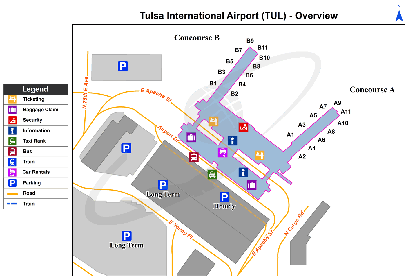
Tulsa Airport terminals map
Current local time in Tulsa, United States


