McGhee Tyson Airport (TYS)
General Information McGhee Tyson Airport
Country: United States (USA)
ISO code country: US
City: Knoxville
Airport name: McGhee Tyson Airport
Code IATA: TYS
Code ICAO: KTYS
Time zone: -5 GMT
Altitude: 298 meters
Length of runway: 2743 meters
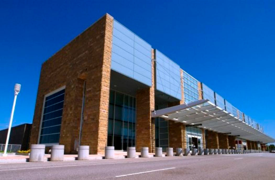
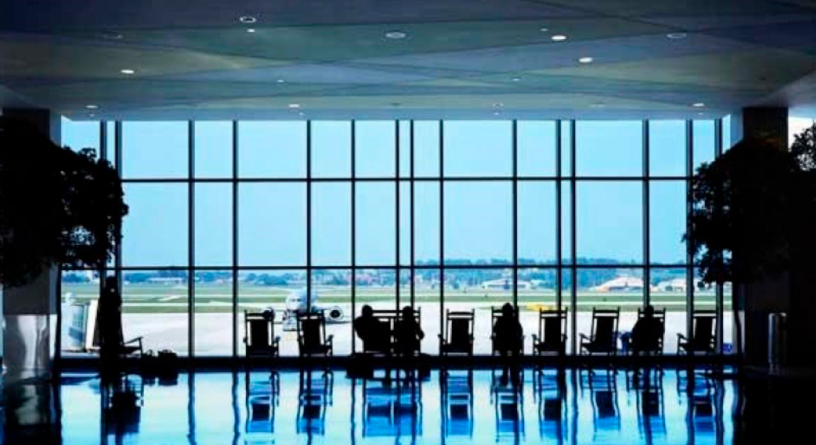
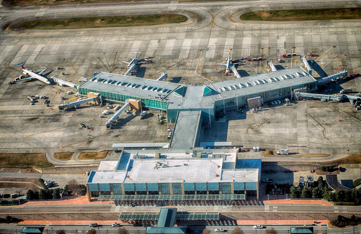
Photo McGhee Airport
McGhee Tyson Airport Contacts: adress, zip code, phone
Tel: +1 (1)865 3423000
Adress: 2055 Alcoa Hwy, Alcoa, TN 37701, USA
Web: flyknoxville.com
McGhee Tyson Airport (TYS) on Map — Location
General Info about McGhee Tyson Airport
McGhee Tyson Airport is a public/military airport 12 miles south of Knoxville, in Alcoa, Blount County, Tennessee. It is named for United States Navy pilot Charles McGhee Tyson, who was killed in World War I.
Owned by the Metropolitan Knoxville Airport Authority, it is served by several major airlines and employs about 2,700 people. It is a 30-minute drive to the Great Smoky Mountains National Park. The airport is the home of McGhee Tyson Air National Guard Base, an air base for the 134th Air Refueling Wing (134 ARW) of the Tennessee Air National Guard.
Video TYS
3D-tour
Airports near McGhee Tyson (TYS)
Asheville Regional airport (137km)
Chattanooga Metropolitan airport (139km)
Tri-Cities Regional airport (160km)
Greenville–Spartanburg International airport (190km)
DeKalb–Peachtree airport (217km)
Airlines which Fly to TYS
Airlines Alliances in McGhee Tyson Airport
- SkyTeam
- OneWorld
- Star Alliance
TYS Airport Weather
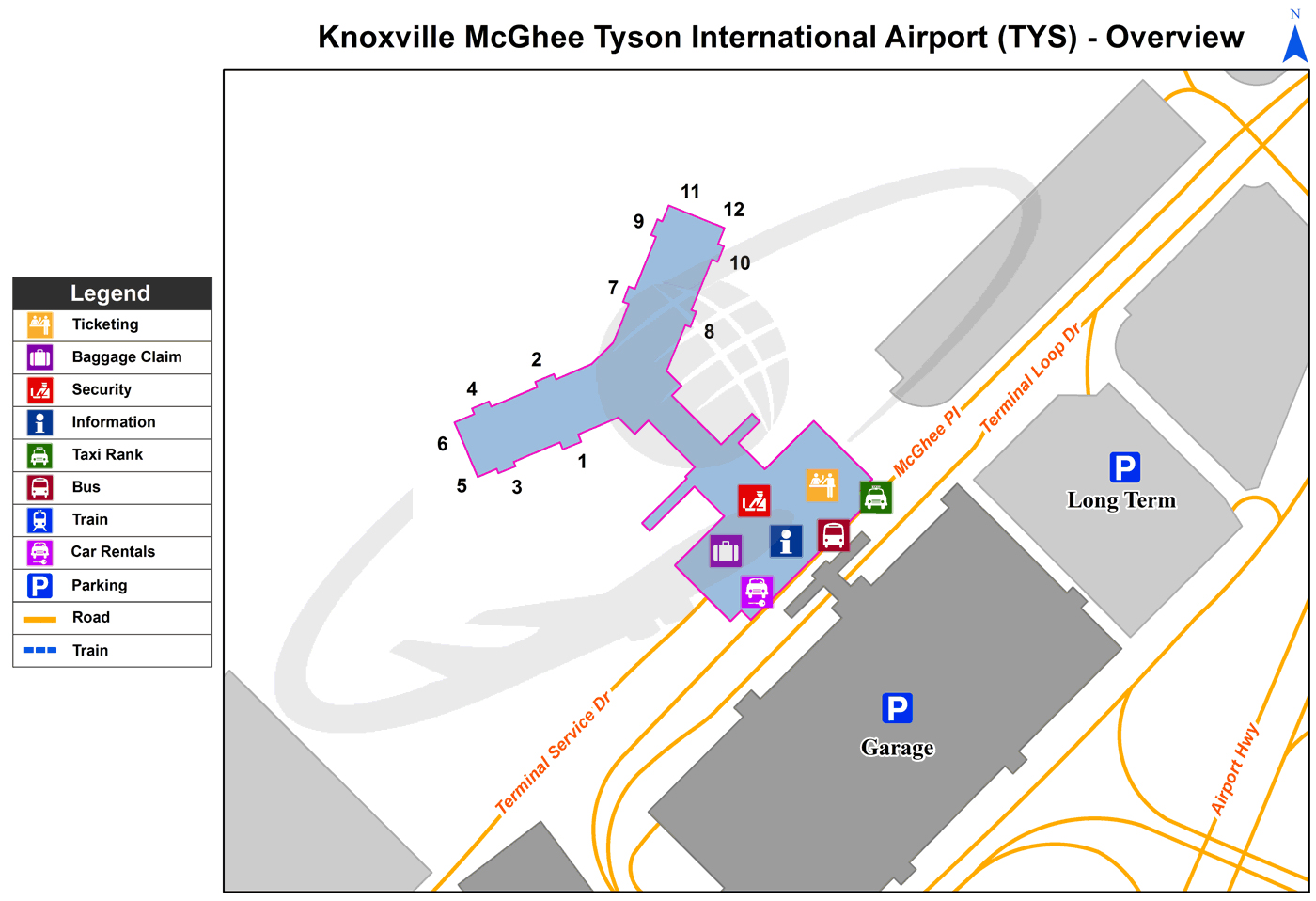
TYS Airport Terminal Map
Current local time in Knoxville, United States
")
")
")