Columbia Metropolitan Airport (CAE)
General information Columbia Metropolitan Airport
Country: United States (USA)
ISO code country: US
City: Columbia
Airport name: Columbia Metropolitan Airport
Code IATA: CAE
Code ICAO: KCAE
Time zone: -5.0 GMT
Altitude: 72 meters
Length of runway: 2622 meters
Fast navigation
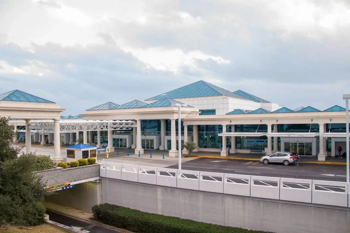
Photo Columbia airport


Columbia airport contacts: adress, zip code, phone
Tel: +1 803-822-5000
Adress: 3250 Airport Blvd, West Columbia, SC 29170, USA
Web: www.flycae.com
Columbia (CAE) airport on map — location
General info about Columbia Metropolitan Airport
Columbia Metropolitan Airport (CAE) is the main commercial airport for Columbia and the Midlands region of South Carolina, United States. The airport is located in West Columbia, five miles southwest of Columbia, in Lexington County. It is surrounded by the city of Cayce and the towns of Springdale, Pine Ridge, and South Congaree. The airport is a regional cargo hub for UPS Airlines.
The airport covers 2,600 acres and has two runways: 11/29 is 8,601 ft × 150 ft and 5/23 is 8,001 ft × 150 ft. It has a 50 ft × 50 ft helipad. The center 75 ft of runway 5/23 is asphalt; the edges are grooved concrete. The airport is a hub for UPS Airlines.
Video Columbia Airport
3D tour of Columbia (CAE) Airport
Airports near Columbia Metropolitan Airport
Jim Hamilton L.B. Owens Airport (7km)
Mc Entire Joint National Guard Base (18km)
Orangeburg Municipal Airport (37km)
Shaw Air Force Base (37km)
Daniel Field (62km)
Airlines which fly to Columbia Airport
Airlines alliances at Columbia Airport
- SkyTeam
- OneWorld
- Star Alliance
CAE Airport Weather
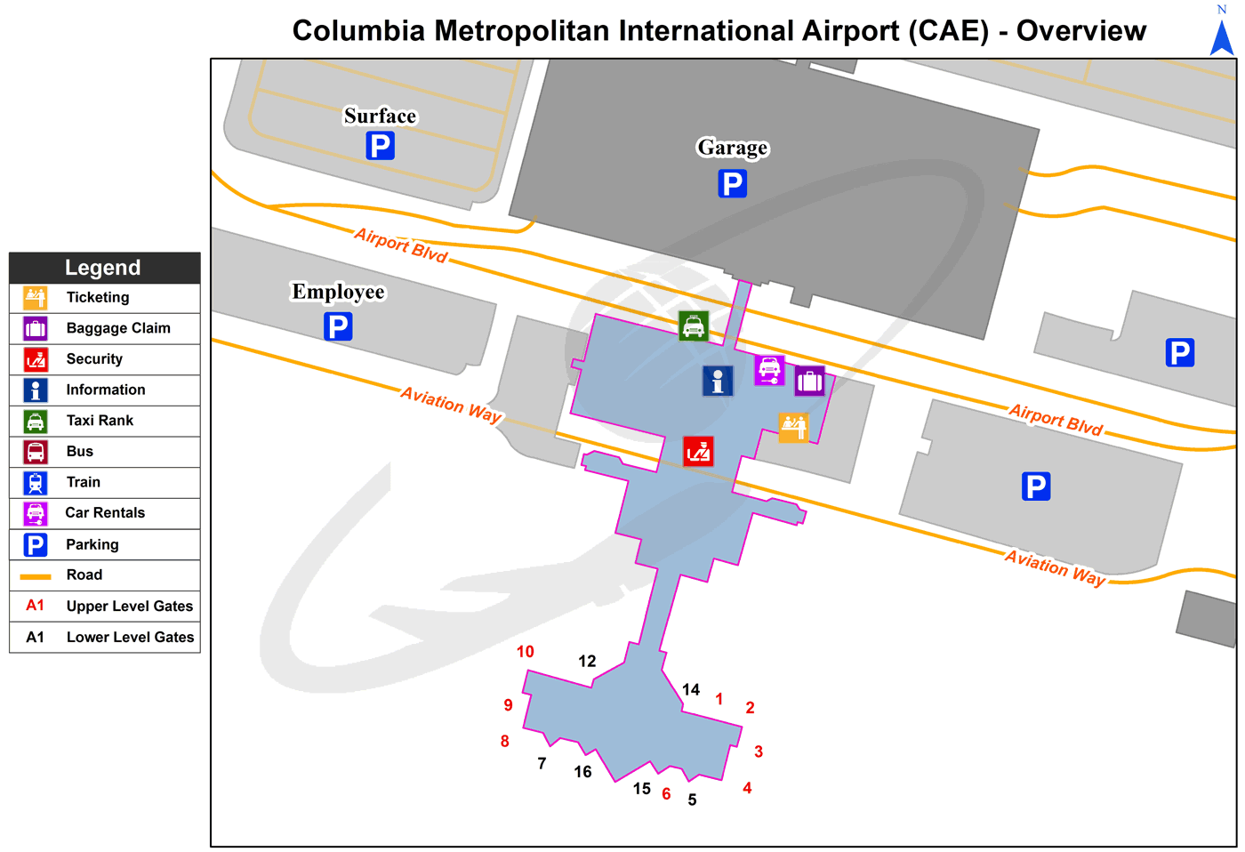
Columbia Airport terminals map
[tp_direct_flights_shortcodes origin=CAE title=»» limit=10 paginate=true subid=»» currency=»USD»]
Current local time in Columbia, United States
")
")