St. Louis Lambert International Airport (STL)
General information St. Louis Lambert Airport
Country: United States (USA)
ISO code country: US
City: St. Louis
Airport name: St. Louis Lambert International Airport
Code IATA: STL
Code ICAO: KSTL
Time zone: -6.0 GMT
Altitude: 184 meters
Length of runway: 3359 meters
Fast navigation
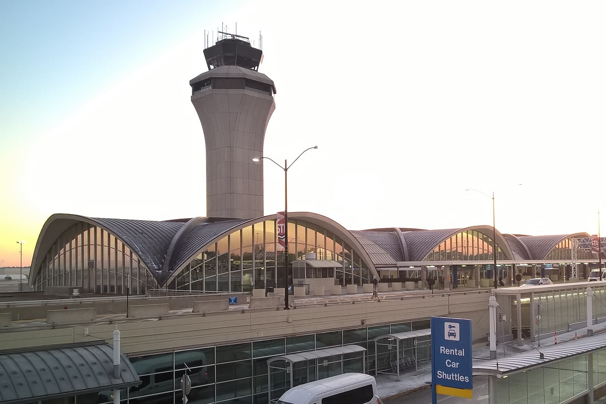
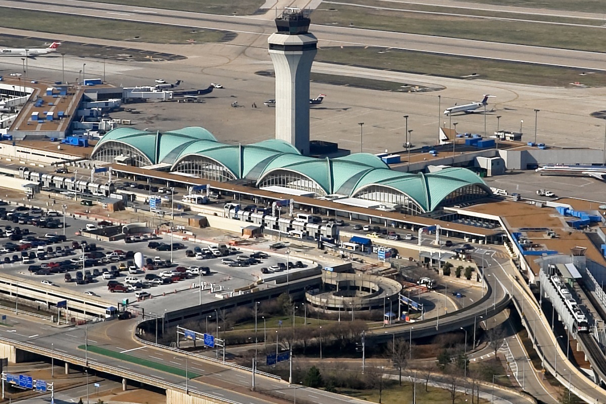
Photo St. Louis Lambert airport

St. Louis Lambert airport contacts: adress, zip code, phone
Tel: +1 314-890-1333
Adress: 10701 Lambert International Blvd, St. Louis, MO 63145, USA
Web: www.flystl.com
St. Louis Lambert (STL) airport on map — location
General info about St. Louis Lambert Airport
St. Louis Lambert International Airport (STL) is the primary airport serving metropolitan St. Louis, Missouri, United States. Commonly referred to as Lambert Field or simply Lambert, it is the largest and busiest airport in the state of Missouri.
The 2,800-acre airport sits 14 miles northwest of downtown St. Louis in unincorporated St. Louis County between Berkeley and Bridgeton. In serves nearly 16 million passengers every year with more than 259 daily departures to 78 nonstop domestic and international locations.
The airport provides nonstop domestic service throughout the USA and international nonstop service to Caribbean, Mexico, Canada and Europe.
Video Lambert Field
3D tour of St. Louis Lambert (STL) Airport
Airports near St. Louis Lambert Airport
Spirit of St. Louis Airport (16km)
St. Louis Regional Airport (20km)
Scott AFB/Midamerica Airport (32km)
Abraham Lincoln Capital Airport (84km)
Southern Illinois Airport (90km)
Airlines which fly to Lambert Field
Airlines alliances at St. Louis Lambert Airport
- SkyTeam
- OneWorld
- Star Alliance
STL Airport Weather
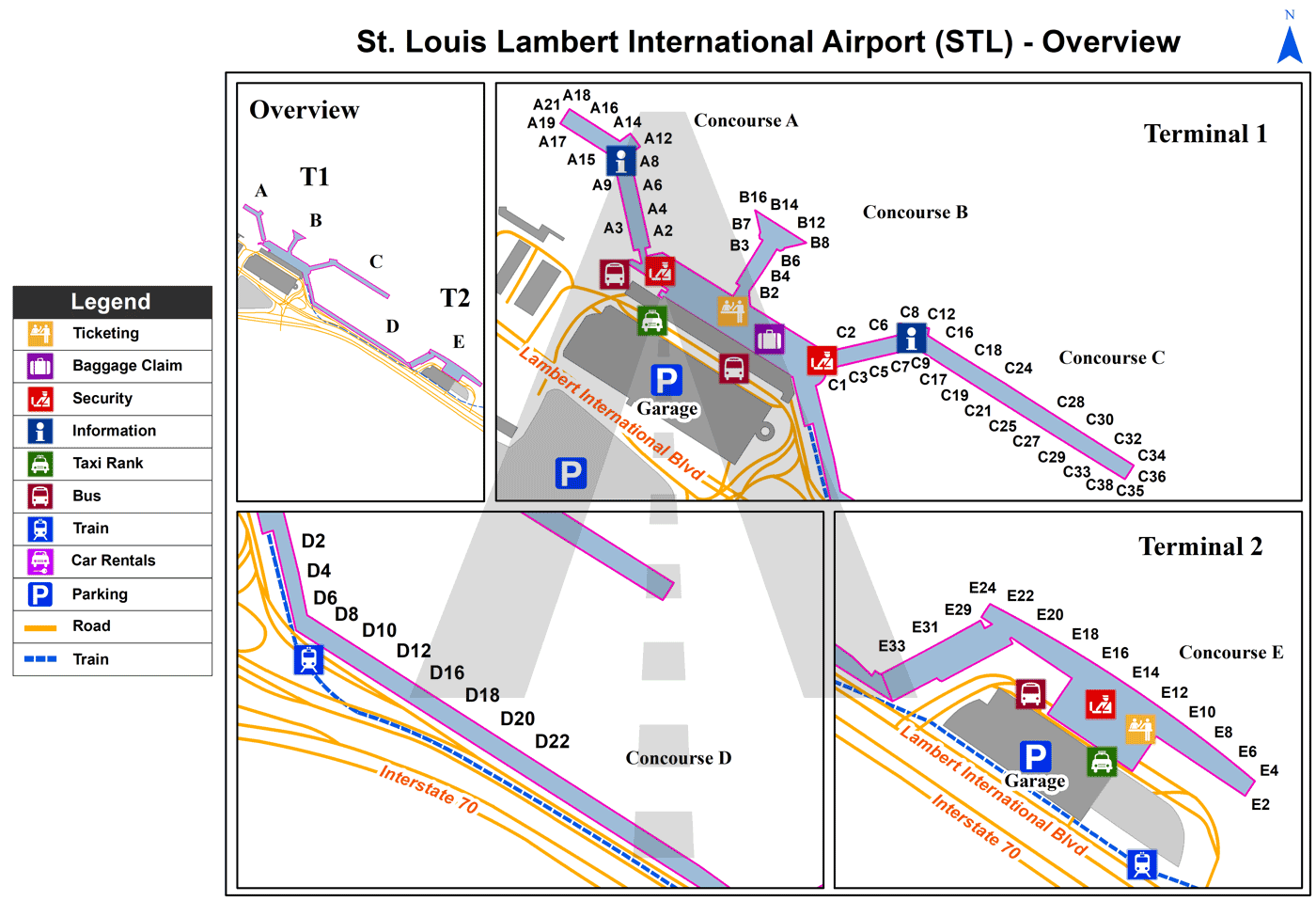
St. Louis Lambert Airport terminals map
Current local time in St. Louis, United States
")
")