Palm Springs International Airport (PSP)
General Information Palm Springs International Airport
Country: United States (USA)
ISO code country: US
City: Palm Springs
Airport name: Palm Springs International Airport
Code IATA: PSP
Code ICAO: KPSP
Time zone: -8 GMT
Altitude: 145 meters
Length of runway: 3048 meters
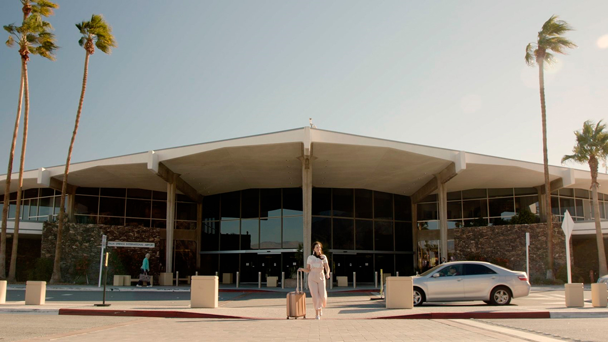
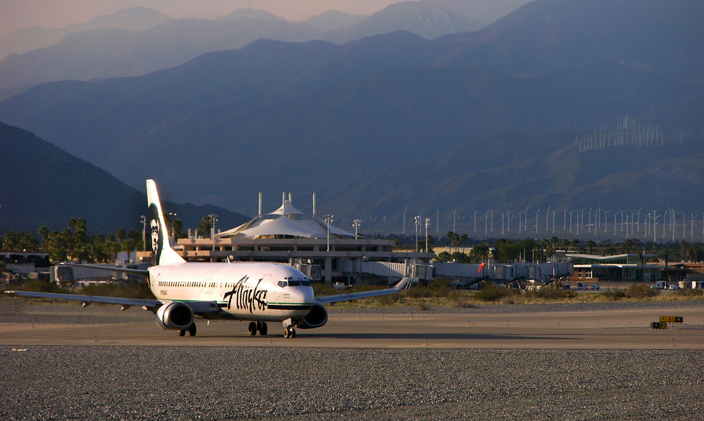
Photo Palm Springs Airport
Palm Springs Airport Contacts: adress, zip code, phone
Tel: +1 (0)760 3183800
Adress: 3400 E Tahquitz Canyon Way, Palm Springs, CA 92262, USA
Web: palmspringsairport.com
Palm Springs Airport (PSP) on Map — Location
General Info about Palm Springs Airport
Palm Springs International Airport, formerly Palm Springs Municipal Airport, is an airport two miles (3 km) east of downtown Palm Springs, California, United States. The airport covers 940 acres (380 ha) and has two runways. The facility operates year-round, with most flights occurring in the fall, winter, and spring.
PSP’s passenger terminal consists of three parts—the main building, the elevated Sonny Bono Concourse to the north, and a yet-unnamed concourse to the south. Airside, it has a unique open-air layout in that all passenger walkways connecting these structures are roofless.
Video PSP
3D-tour
Airports near Palm Springs (PSP)
San Bernardino International airport (74km)
Riverside March Air Reserve airport (81km)
McClellan–Palomar airport (105km)
Ontario International airport (105km)
Upland Cable airport (113km)
Airlines which Fly to PSP
Airlines Alliances in Palm Springs Airport
- SkyTeam
- OneWorld
- Star Alliance
PSP Airport Weather
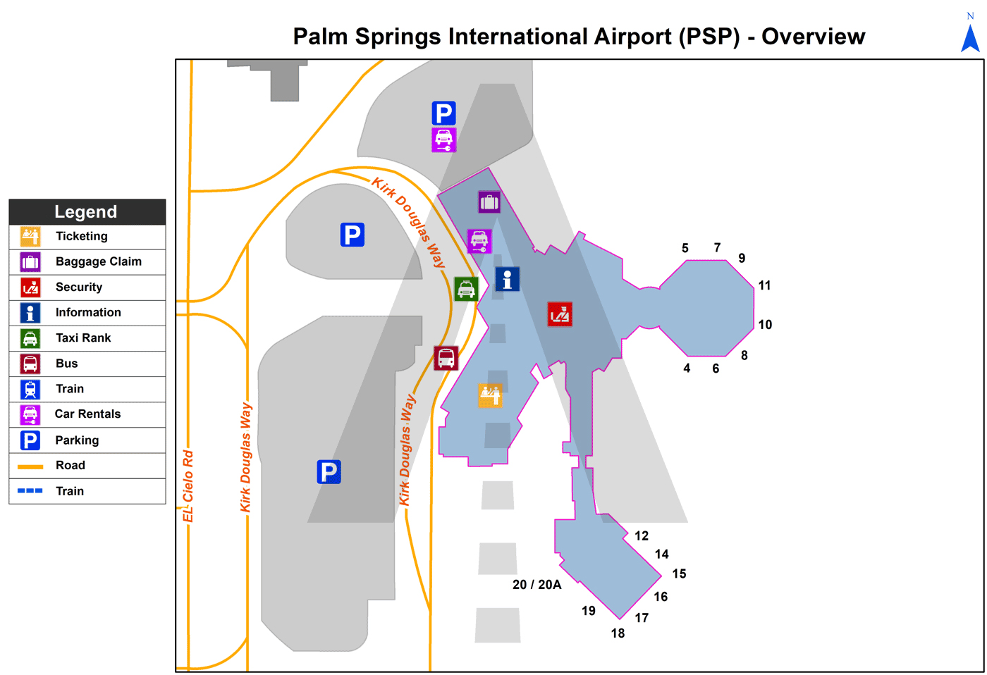
PSP Airport Terminal Map
Current local time in Palm Springs, United States
")
")
")